We used to think deep-ocean tsunamis were simple. The textbook version tells you that when a massive megathrust earthquake hits, it lifts the seafloor, pushes up a giant wall of water, and sends a clean, predictable pulse racing across thousands of miles of open ocean. Because the wave length is so massive compared to the depth of the sea, everyone assumed these waves didn't disperse much. They were supposed to keep their shape until hitting the shallow waters of a coastline.
It turns out that model is wrong.
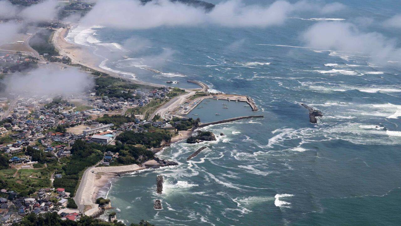
When a magnitude 8.8 earthquake struck the Kuril-Kamchatka subduction zone, global monitoring systems braced for catastrophic destruction reminiscent of Japan in 2011. Millions evacuated. But while the coastlines were largely spared from a worst-case scenario, a NASA satellite orbiting hundreds of miles above caught the tsunami doing something entirely unexpected. The data it collected has completely shattered long-held assumptions about how these massive energy pulses travel across the open sea.
The Spacecraft That Wasn't Supposed to Be a Tsunami Spotter
About 70 minutes after the seafloor ruptured off the Russian coast, the Surface Water and Ocean Topography (SWOT) satellite happened to pass directly over the propagating wave train. SWOT is a joint mission between NASA and the French space agency, CNES. It wasn't designed to track tsunamis. Its day job is mapping global sea surface heights, rivers, and lakes to study climate change and water cycles.
Traditional ocean monitoring relies on deep-ocean buoys called DART gauges. They provide highly accurate data, but only at single, isolated points on a map. It's like trying to understand the shape of a mountain range by looking through a few pinholes.
SWOT changed the equation because it uses interferometric radar to scan a wide, two-dimensional strip roughly 75 miles wide. As it crossed the Pacific, it captured a high-resolution, wide-area view of a major tsunami in motion. Instead of a single point of data, scientists suddenly had a highly detailed, two-dimensional map of the ocean surface height variations.
Why the Non-Dispersive Myth is Dead
What the satellite saw threw a wrench into standard operational forecasting models. Rather than moving as a clean, orderly pulse, the tsunami looked messy. The data revealed a complex, braided pattern of crests and troughs.
The main wave was actively spreading out and separating into smaller, trailing wave components. In physics, this is called dispersion—where different parts of a wave travel at slightly different speeds based on their wavelengths. Tsunami modelers have historically ignored dispersion for great earthquakes, treating the primary wave as a single, non-dispersive entity that holds its form across long distances.
The SWOT data proved that dispersion plays a much larger role in deep water than anyone realized. When researchers ran simulations with dispersive physics turned on, the models suddenly matched the satellite's messy reality perfectly. The main wave is constantly being modulated and reshaped by these smaller trailing waves. That means the energy hitting a distant coastline might arrive in a far more chaotic, unpredictable sequence than a standard model would ever predict.
Reading the Seafloor Backward
The value of this satellite pass didn't stop at wave dynamics. Oceanographers used a technique called inversion—essentially working backward from the observed wave patterns to map the exact dimensions of the earthquake fault rupture itself.
Initial seismic models calculated from land-based instruments suggested the fault rupture was roughly 300 kilometers long. But when scientists plugged the SWOT wave data into their algorithms, the numbers didn't add up. Two different DART buoys had recorded anomalous arrival times—one too early, one too late.
The satellite's wide-area view solved the riddle. The actual fault rupture didn't stop at 300 kilometers; it extended much farther south, stretching closer to 400 kilometers along the plate boundary. The peak seafloor uplift hit roughly four meters in the southern portion of the fault. By looking at the shape of the water from space, scientists were able to correct our understanding of a massive tectonic event on the ocean floor.
What This Means for Future Coastal Safety
If our forecasting models are missing this "extra" wave variability, we are miscalculating the exact behavior of tsunamis as they approach shallow coastal waters. A wave that appears manageable in a non-dispersive model could be amplified or extended by the trailing wave train captured by SWOT.
Moving forward, emergency management teams and oceanographic institutes must integrate these multi-dimensional satellite observations with existing buoy networks. Relying solely on isolated point measurements is no longer enough when space-based radar can expose the hidden, chaotic structure of the open ocean. Updating operational forecasting algorithms to include dispersive physics is the next necessary shift to ensure coastal evacuation zones are accurately mapped before the next major rupture occurs.